Starting From
8,625
7,500.00

Starting From
8,625
7,500.00
Starting From
8,625
7,500.00
Sar Pass Trek (138+ Reviews)
A cross over trail through passes
Pathankot is the nearest rail head to the base camp
Bhuntar Airport
Kasol
April/ May/June
Kasol to Kasol
Veg
Homestay/ Camping
Himachal
4N/5D
Moderate
13800 Ft
47
Sar Pass Trek Overview
Sar Pass Trek is one of the favorite treks in the foothills of the Himalayas and is done in the Himachal Pradesh of India. It takes the trekkers through thick forests, charming villages, elevated meadows, and places in the backdrop of snow. The difficulty of sarpass is moderate, which is best for those who are just beginners or experienced in trekking. Sar Pass altitude is 13,800 ft and is surrounded by prominent peaks such as Mount Deo Tibba, Hanuman Tibba, and the Great Himalaya range. The overall combination of its distinct features allows you to witness some of the best portions of the Himalayan beauty.
The Sar Pass trek begins from the scenic place of Kasol and the base camp for the trek is Grahan village. As trekkers progress, the views of dense pine, oak, and rhododendron forests can be seen, although at higher elevations. The place is enclosed by greenery and offers peace in all aspects. The trail itself is quite interesting because the trekkers pass through local inhabitants who maintain simplicity and are quite peaceful.
Throughout the trek, you will experience the warmth and kindness of the villagers in the Himalayan settlements, which will provide insight into their way of life. The rich biodiversity of the region will also strike you. Due to the altitude of the region, you will notice a variety of flora. Different species of Pine, Deodar, Spruce, and Fir, along with medicinal herbs like Brahma Kamal, can be seen here. Wildlife species such as Himalayan Tahr, Brown Bears, as well as avian species like Monal pheasant and Western Tragopan may be observed as well.
On your way, camping underneath the mesmerizing night sky in Grahan will fully unveil an unforgettable experience as you find yourself in a village in the Parvati valley, embedded in nature's beauty. The Sar Pass Trek deserves to be labeled as an appealing Himalayan Trek, as it combines all the features that make a trek an ideal one, plus some other rare and geo-spectacular qualities. The Sar Pass trek distance is roughly around 48 kilometers and has to be trekked over five to six days. Every day during the trek the time taken will be approximately 4-5 hours or 7-8 hours. Moreover, the Sar pass temperature, to be specific, can be as high as 22°C at day to -5°C during the night.
The trails provide a perfect combination of snow patches, rolling meadows, and urbanized woodlands, making the Sar Pass trek stunning and accessible for all. Beginners can easily go for sar pass trek because the trek is easy in difficulty, and you do not have to undergo extreme efforts to witness the wondrous magic of the Himalayas.
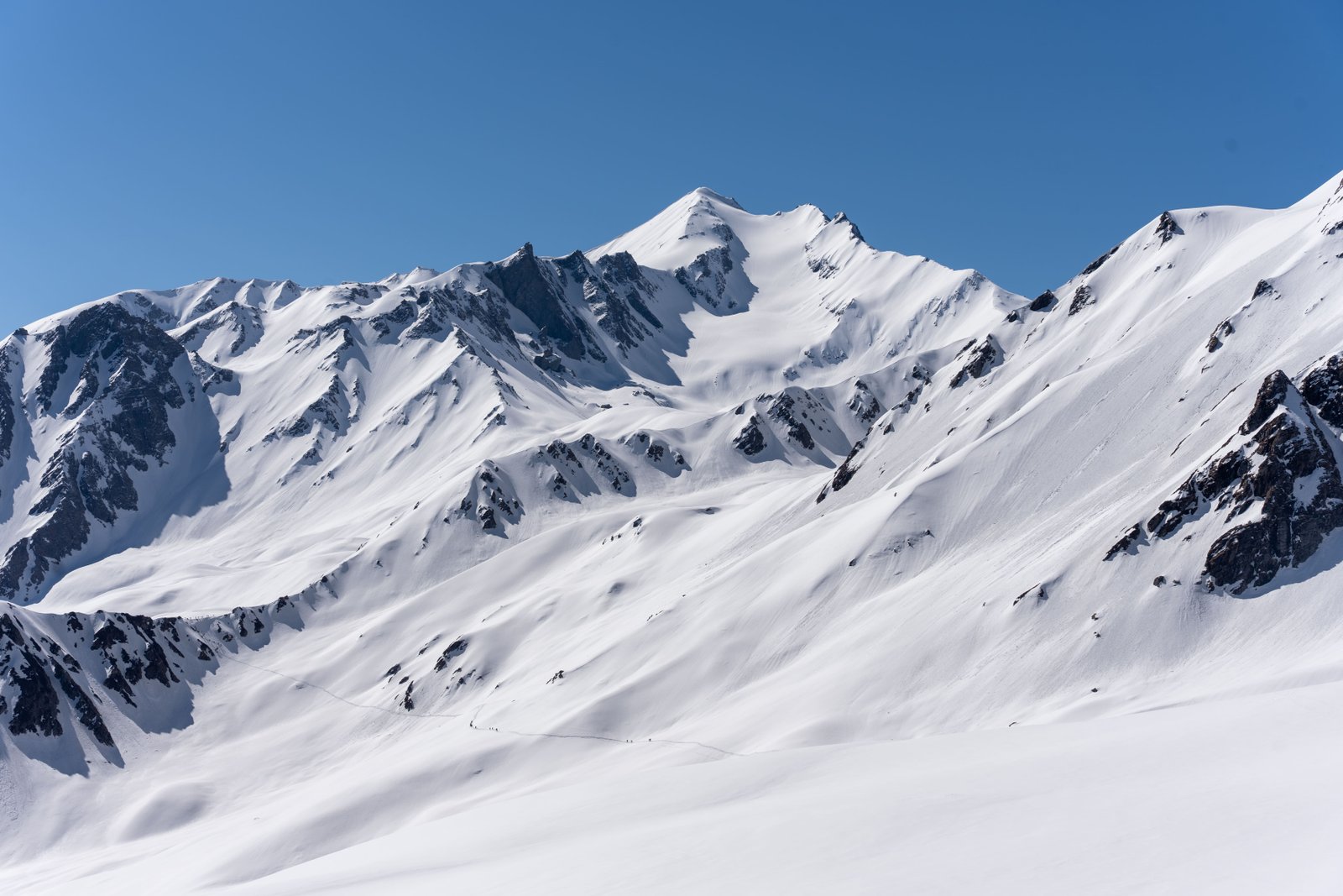
The Sar pass trek goes through the incredible transformation, from lush greenery to majestic white wonderland. A notable feature of the Sar Pass Trek is the amazing view of the varied landscape and terrain. The trek includes extensive pine forests, river streams, and great meadows, but also snow and ice-covered high altitude passes that have to be trekked over.
This trek is definitely a must do for those seeking some adventurous challenges and excitement owing to the beauty of the landscape and the terrain.
Along with the unique scenery and the challenging trek, these regions marvel at the stunning vistas of Himalayan range. There are numerous remote villages located along the trek that help immerse one in the traditions and culture of the locals.
Sarpass Trek Highlights
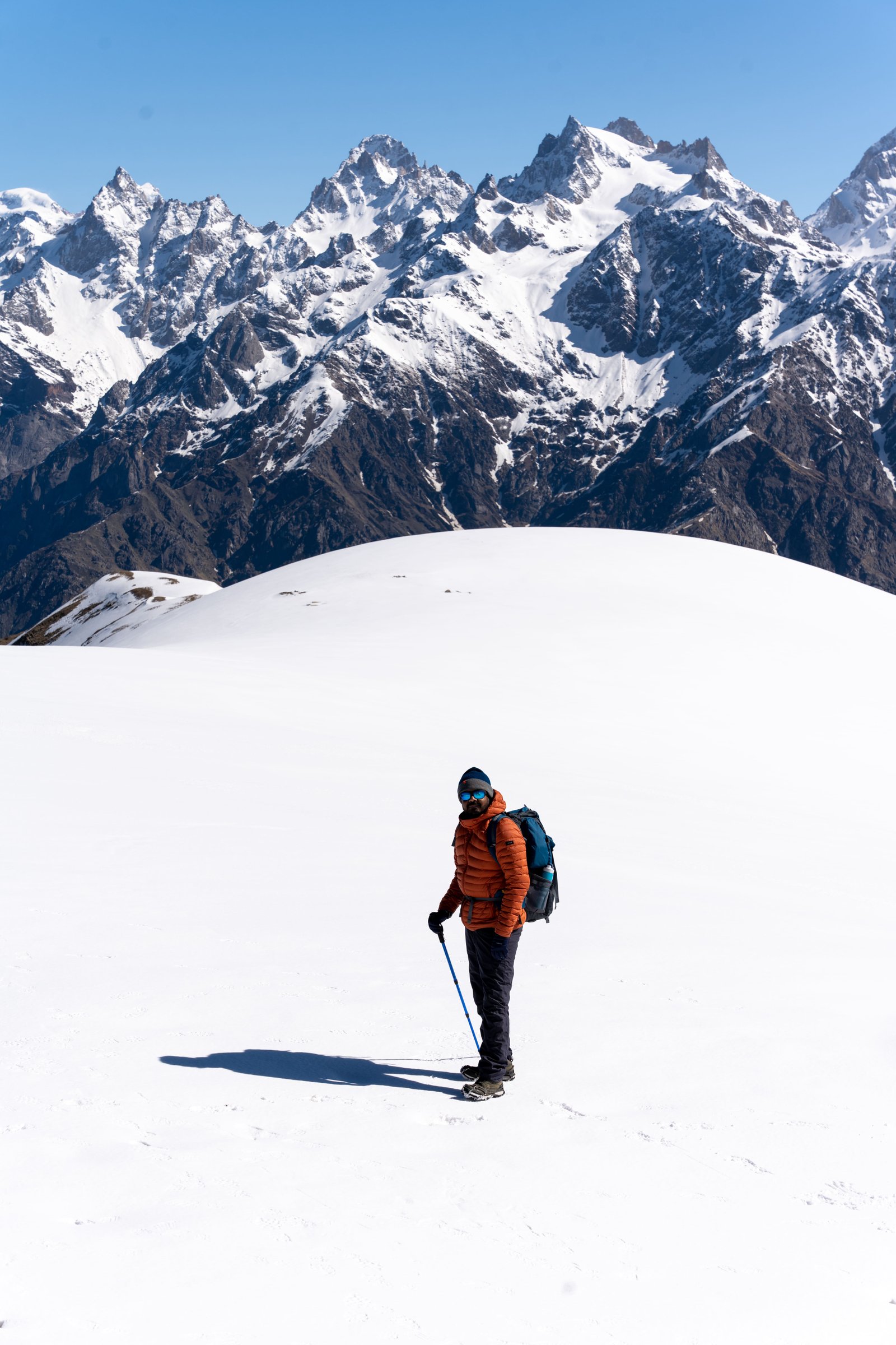
You will be moving from one campsite to the other in the course of the trek, and you can enjoy the majestic scenery around them. The ascent towards the Sar Pass begins from Kasol. While at Sar Pass trekking, the trekkers can enjoy wonderful views of the magnificent snow-clad peaks and the beautiful valleys. The Sar Pass trek itself is the main highlight of the trek, the highest point of the trek, and a place that every trekker reaches with a sense of accomplishment.
With the different terrain, moderate climate, and ecosystems, the sarpass trek is very pleasurable to the eye. Also on the trek, one will enjoy stunning views of the Parvati Valley, with its many glacial rivers, which add to the beauty of this adventurous hike. It is an adventure filled with breathtaking beauty, cultural infusion, and borders on a certain level of physical exercise. Here are some highlights of Sar pass trek:
1. Fascinating forest paths
Starting with the Sar Pass trek, it showcases pine, deodar, and rhododendron forests that provide a soothing step into the lap of nature. The fragrance of Himalayas and trails through thick forests that take unexpected turns makes for a great feeling and a refreshing start to the trek preparing one for the extraordinary adventure of a lifetime.
2. Camping Under the Stars at Grahan
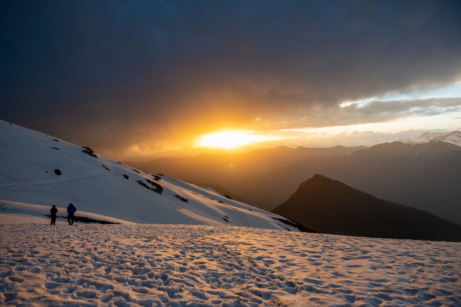
Located in Parvati Valley, Grahan village is an exquisite sightseeing location during the trek. When darkness falls, the sky glows with torching a million stars which is great for stargazing. The revelry of camping in such a place is purely magical, mountain silence combined with heavenly sights creates an amazing state of sheer bliss.
3. Travel Through Vividly Different Landscapes
The stunning part of the Sar Pass trek is the change in scenery that can be so easily appreciated. It includes deep forests, velvety meadows, and, with every step of the trek, there are new mountains to behold, including the sprinkling of snow on the peaks. The splendid mix of color exuberant flora and the blanket of snow surrounding the pass creates a spectacular view.
4. Best suited for beginners as well as the brave fearless
Beginners wanting to explore the waters of the majestic Himalayas Sar Pass would be a best suited trek due to the moderate level of difficulty. A combination of stunning landscapes, gentle slopes, and achievable obstacles make it perfect for those in search of fun without too much difficulty.
The pre monsoon period is the best time for Sar Pass Trek, during the year to be able to complete the Sar Pass Trek. These months generally have pleasant weather and temperature and visibility of skies helping to trek. The winter months of December to February see heavy snowfalls that cover the trail, hence making it challenging for both beginner and experienced trekkers. The pre monsoon period months, have enough snow that you can witness and there are chances of snowfall too.
Moreover, the snow covered mountains make the trekking worth it and interesting. More interestingly, there will be flowers along the trek and clear skies which make the months of May to October ideal for Sar pass trek. Regardless of the season, the Sar Pass Trek is memorable for all the adventures seeking the beauty of nature and the core of the Himalayas. Before starting the trek it is important to check the sar pass trek weather and sar pass temperature. Being safe is better than being sorry.
Sar Pass Trek: The Ultimate Himalayan Trek
The Sar pass trek is perfect for those who would like to cover a lot with one trek. Snow Capped mountains, forests, dazzling meadows, and cute villages are all part of this trail. You will interact with the local tales and majestic views of these astonishing snow capped peaks. Witness the beauty of the Himalayas along with the exceptional flora. The sight of the trails being painted pink by the rhododendrons at varying points is simply mesmerizing. You will also get to taste the juice of rhododendrons at local spots.
Challenge yourself to experience the excitement of different ascents and descents. Enjoy the eye catching view from a top of Sar Pass and you will never forget it. The beautiful green meadows of Biskeri Thatch attracts trekkers and the snow in the Nagaru basecamp is captivating. Beauty, peace, and adventure, Sar Pass is the perfect place that is blessed with all three. Begin your journey by trekking rich forests starting from Kasol and reach the Grahan Village, where the night sky full of stars waits for you.
You will definitely be taken when you first get a glimpse of Parvati Valley and its intricate beauty. Trek through Biskeri That, a broad meadow, and this trek will lead you to the divine Sar Pass. Glimpses of the boundless mountains of Parvati Valley, the pine forests, and the great variety of flora and fauna are a wonder to behold when all are viewed simultaneously.
Sar Pass Trek Tips & Tricks by Expert Trek Leader
Sar Pass Trek Itinerary
Check in, unwind on the banks of the Parvati River, and get to know your guide.
Take an early start for the Sar Pass Trek and make your way towards Grahan Village with views on the way.
Cover a distance of 10 km in a stretched time of 7 hours in the middle of rolling hills, meadows, and magnificent mountains.
Experience the simple and slow-paced life of Grahan Village located deep in Parvati Valley.
Reach Grahan Village for a night stay after a day of trekking
SHORT ITINERARY
DETAILED ITINERARY:
Kasol, situated in the Parvati Valley, is a beautiful town where you can relax and enjoy the environment. Explore the Parvati River while relishing local cuisine after checking in. After an introduction with your respective guide, embark on the majestic Sar Pass trek with Himalayan Daredevils.
The Sar Pass Trek should begin especially early in the morning. Get ready for a beautiful adventure as you trek from Kasol to the scenic Grahan Village. In total, this 10 km trek lasts seven hours as it passes through beautiful hills, lush greenery, and mesmerizing meadows before ending as stunning mountain views graze your eyes. Reaching Grahan Village – a small village – today is that day where you will spend the night in tents and fall asleep to nature all around you. It will be a perfect end to a long day, a night beneath the stars.
Get ready to be greeted by fantastic views of snow-covered mountain peaks from Grahan Village.
Post breakfast, set out to trek for 4 – 5 hours to reach Min Thach. Cross over small sloping hills on a beaten local trail.
Cross dense jungles and head towards Min Thach, crossing Nagaru and Sar Top peaks while enjoying their shade.
The trail gets steeper as one goes further into the mountains, but the sounds of chirping birds make it pleasant.
Get to Min Thach at a height of 11,150 ft, pitch your tent, and sleep in peace under the stars with the mountains around you.
SHORT ITINERARY
DETAILED ITINERARY
In the morning, you can enjoy views of lofty mountains covered with snow from Grahan Village. After having breakfast, start for Min Thach which is about a 4-5 hours walk. The initial part of the trek involves a gentle ascent which is easy to do via the well-used path frequented by the locals. As one proceeds northward from Grahan, 1865m, the course widens at Min Thach, Nagaru, and Sar Top peaks which create an exhilarating experience for the trekkers.
The path is steadily windy as it gets higher, together with a little sharp climb. As you travel deeper into the forests, the climb gets steeper as it gets thicker with trees. With trees all around there is always a cool shade as you walk through the jungles. Step by step, scene after scene, the beauty of the environment slowly presents itself in its most crude form. The calm setting and the sound of birds chirping are ideal for walking on any path.
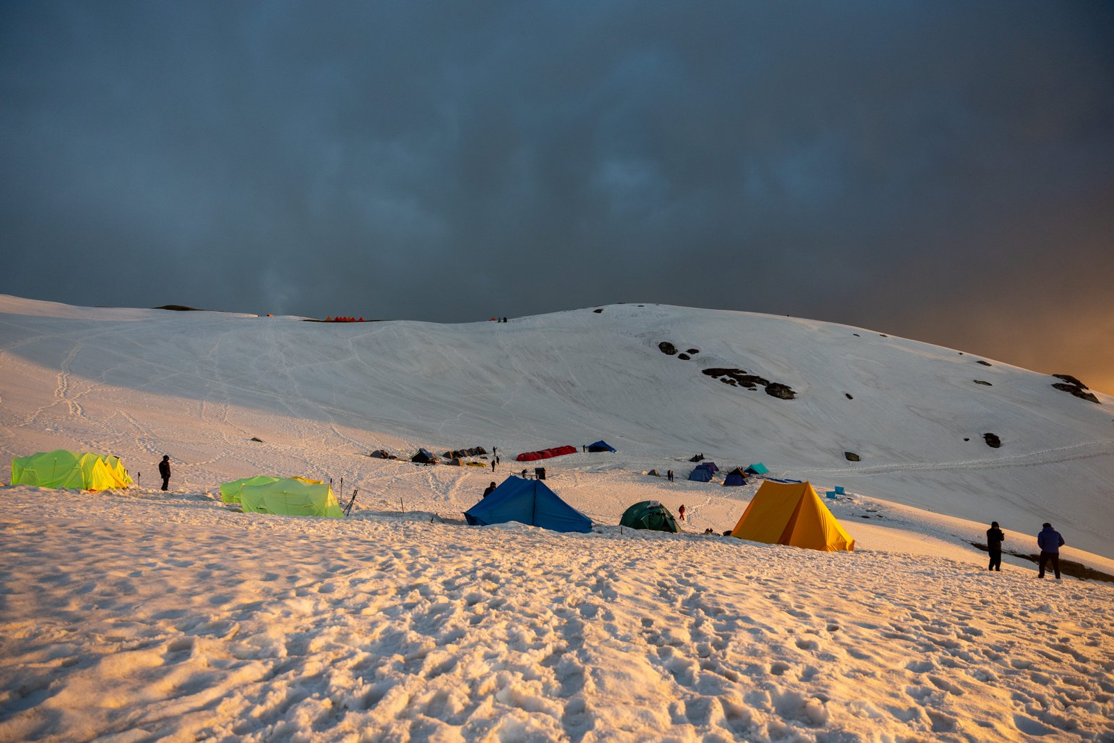
Once you have crossed the forest, you will reach Min Thach, a beautiful little plain set at the height of 11,150 ft (3,400 meters). Today is your last post for the day and you will set up camp here and sleep in the open with the beautiful mountains surrounding you. While en route to the overnight forest camp, try and soak in the tranquility of the place as you prepare yourself for the adventures of the next day.
Fresh mountain weather and the views of the hills will usher you into the day like no other.
After taking a heavy meal, the time comes to step up to the high peak of Nagaru 12500 ft through thick bushes and difficult landscapes.
Persist through Nagaru’s steep inclines and declines which test your focus.
Once completed with the site of Nagaru, camp. Tired from the day, relax before preparing for tomorrow while taking in the sights and breeze of the mountains.
SHORT ITINERARY
DETAILED ITINERARY
Upon waking up at Min Thach from a restful sleep, inhale a deep breath to take in the cold air accompanied by expansive sights of hills in their beauty. Relish a hot meal to replenish your energy before leaving for Nagaru which is 12,500 ft (3810m) high. The elevation causes the terrain to be rugged with thick forests along the trail where steep ascents and descents are commonplace.
This section of the trek is referred to as one of the tough sections of the trek as the steep slope dives into the valley below. The trek challenges your concentration and endurance as you negotiate steep rises but the payoff is worth it. It is said that the first snowfall occurs at Nagaru campsite after a few hours of hard hiking. From this point, one can look through a stunning view over Parvati Valley and the town of Manikaran, and most of the valleys are encircled by the serene mountains in the background.
Build a tent here for the night as the occasion demands for the weather up high is too perfect, the cool breeze after views on the mountains off the plains becomes a perfect way to end before the great venture continues.
Relish a delightful breakfast while gazing at the peaks before going up the steep path to Sar Pass.
As you approach the Sar Pass, make your way through forests, ridges, and snow-clad valleys, climbing up to 4868 meters above sea level.
What a sight! After climbing up, the stunning panoramic views of the magnificent peaks and the glacier below capture the beauty of the moment.
The heights of Sar pass going back down are steep. The initial strain soon passes and you find a rhythm allowing the journey to be easier.
SHORT ITINERARY
DETAILED ITINERARY
Following Nagaru, the views of peaks, it is time to hit the steep paths and ascend the Sar Pass, which is 4,868 meters high. This trek takes its component, and a lot of time is required to pass through forests, mountain ridges, and valleys covered in snow. It is fine; with a little patience, the climber will be rewarded with breathtaking sloped views of magnificent peaks on all sides with the Glacier below. Capture the moments and record the journey. The locals have made the paths easy to traverse. The massive amount of peace after experiencing the local lifestyle. What could be better?
After crossing Sar Pass, the slope is quite steep and leads directly toward the Tosh Valley. After getting into a rhythm, thankfully, the flowing terrain makes it far more bearable. The thrill gives so much motivation to keep going. The valley is so cool and diverse throughout many slopes. It is a well-deserved break at the camp as the primal surroundings provide enough energy to pursue further goes on for a long time.
Eat a good breakfast and start early for the last leg of the Sar Pass trek where there are beautiful sceneries of green vegetation, sandstones, and vast grasslands along the way.
On the way you will cross two beautiful villages Pulga and Tulga which are divided by a stream, this and other such sites made the trip enjoyable.
After crossing the Parvati River bridge, proceed toward Barshaini, the last village, and enjoy the views.
Finally, reach Barshaini, the last village before reaching Kasol, and remember one of the best treks of your life.
SHORT ITINERARY
DETAILED ITINERARY
Have a great breakfast and set out early. It’s the last leg of the trek that should reward the effort. The view on this trail should be fascinating as accentuated greenery, sandstones, and expansive grassland should all be along the route to Barshaini. On the way, you’d cross a pair of adjacent twin villages, Pulga and Tulga, both separated by a kinked stream. The attractiveness of these villages contributes to enhancing the trek.
There are a lot of trails up here, and the right one is the one that heads in the northeast direction, but a guide may be relied on. Having gone deep into the forest for a good while, see a crossing on a stream, with a site for a camp around the crossing. However, getting to the crossing is not easy! Over twenty feet of rock must be repelled down, and with the aid of a rope too. After crossing the stream with the logged wooden planks, jump onto the site for camp where you can find a few vendor net tents pitched up. To the left of the place where you can pitch your tents for the night is the trail leading to the village of Pulga.
Then the greens sighted, areas to exploit to wooded areas, one of the lovely scenes along the way during the entire trek. The trail proceeds through a tributary again into the bushes, the slope is now quite sharp meaning the trend in the descent becomes steep once more. After some time, you will come to a spot within a wood where trees have been harvested. The track does go past in procession along a water pipeline that gets one to the village of Pulga.
Cross a bridge to the Tulga side of the mountains across the Parvati River on the way to the last village of Barshaini, close to Kasol. Once here you can go by jeep to go back to Kasol, marking the end of the unforgettable Sar Pass Trek. Take time to think about the profound moments during the days spent trekking within the compelling Himalayan range, the bonds created, and the breath-taking views experienced. On returning to Kasol, celebrate the end of the amazing adventure!
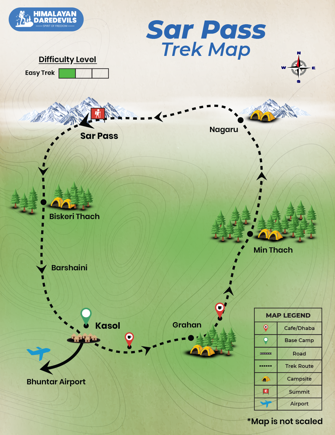
Sar Pass Trek Map
Trek Reviews Videos
Inclusions
Exclusions
1. Meals while on trek (Veg)
2. All necessary entry fees and permits.
3. Accommodation: - Guest house/ home stay/ camping during Trek.
4. Mountaineering qualified & professional trek Leader, guide, cook and Support staff.
5. First aid medical kits, stretcher and oxygen cylinder.
6.Trek equipments: Sleeping bag, mattress, tent (tripple sharing), kitchen & dinning tent, toilet tent, utensils and crampon (if required)
7. Staff Insurance.
8. Porters/mules to carry central equipment.
1. Any kind of personal expenses.
2. Food during the transit.
3. Mules or porters to carry personal luggage.
4. Insurance.
5. Any kind of emergency evacuation charges
6. Transport (Non Ac)
7. 5% GST
8.Any expense incurred or loss cost by reasons beyond our control such as bad weather, natural calamities (landslides, floods), flight delays/rescheduling/ cancellations, any accidents/medical evacuations, riots/strikes/war/pandemics etc.
9. Anything not specifically mentioned under the head.
What should you carry for the Sar Pass Trek?
- Trekking shoes: A good pair of trekking shoes is essential for a comfortable and safe trek. Look for shoes that are sturdy, provide good ankle support, and have a good grip on different types of terrain.
- Backpack with rain cover (50-60 ltr): A backpack is necessary to carry all your gear. Make sure it's the right size for your trek, and comes with a rain cover to keep your belongings dry in case of rain.
- Thermals (upper and lower): Thermals are lightweight and comfortable base layers that help regulate your body temperature in cold weather. Bring both upper and lower thermals to keep warm.
- 3 T-shirts (advisable quick dry): Choose quick-drying T-shirts made from breathable and moisture-wicking materials. This will help keep you cool and dry during your trek.
- 2 Trek pants: Choose lightweight and comfortable trek pants that are easy to move in and can dry quickly if wet.
- Jacket (-10 degree): A warm jacket is essential for cold weather. Choose a jacket that is waterproof and windproof, and provides good insulation.
- Fleece or hood (2): Fleece jackets or hoodies are great mid-layer options to keep warm. Bring at least two, as they can also be used as an extra layer at night.
- Sunglasses (UV protected): Protect your eyes from the sun's harmful UV rays with sunglasses that are designed for outdoor activities.
- Sun cap: A sun cap or hat with a brim will protect your face and neck from the sun.
- Hand gloves: Bring a pair of lightweight gloves to keep your hands warm and protected from wind and sunburn.
- Woollen cap: A woollen cap will keep your head and ears warm at night or in cold weather.
- Socks (3 pairs min): Bring at least three pairs of good quality socks that are moisture-wicking and provide good cushioning and support for your feet.
- Headlamp: A headlamp will come in handy if you're hiking in low-light conditions or need to find your way in the dark.
- Trekking pole (if needed): Trekking poles can help reduce strain on your legs and provide additional support on steep terrain.
- Rain cover\poncho: A rain cover or poncho will keep you and your gear dry during unexpected rain showers.
- Day pack (if you plan to offload your bag): If you plan to offload your backpack during the trek, bring a smaller day pack to carry essentials like water, snacks, and a first aid kit.
- A toiletry kit: Bring a small kit with personal hygiene items, such as a toothbrush and toothpaste, wet wipes, hand sanitizer, and toilet paper.
- Lunchbox, cup, spoon: If you plan to bring your own food, bring a lunchbox, cup, and spoon to carry and eat your meals.
- 2 one-liter bottles: Staying hydrated is crucial, so bring at least two one-liter bottles to carry water.
- 2-3 plastic covers to keep your wet or used clothes: Plastic bags are useful for keeping wet or dirty clothes separate from the rest of your belongings. They can also be used to pack out any trash or waste you generate during the trek.
How to Reach for Sar Pass Trek?
To get to sarpass trek from Delhi you will have to drive to Kasol which is its starting point. Not only from Delhi you can reach Kasol from anywhere. The best way to reach Kasol is by road. There are plenty of bus services available. If you prefer the train, then the nearest railway station to Kasol is Joginder Nagar Railway Station which is 144km from Kasol. Kasol is a remote village in Himachal Pradesh that doesn't have a railway station. Another way is by air, there are daily flights that connect Delhi to Bhuntar and are operated by several major domestic airlines. After reaching Kasol you will connect with your Himalayan Daredevils’s guide. While booking the sarpass trek. If you have selected the pick-up service of Himalayan Daredevils, then the travel arrangements will be done by us. Your guide will inform you about the point from where you and your fellow trekkers will be picked.
Bus : To reach Kasol, there are multiple transportation options available to you. If you prefer to travel by road, the Himachal Road Transport Corporation (HRTC) operates regular buses from nearby states such as Delhi, Haryana, and Punjab. Within the state of Himachal Pradesh, the buses run between cities like Pathankot, Shimla, Kangra, Solan, and Dharamsala.
Train : In case you plan to travel by train, Pathankot serves as the nearest railhead which is approximately 150 km away from Kasol. You can choose to travel via Himsagar Express, Andaman Express or Sarvodaya Express. Another option you can consider is Chandigarh, which is about 310 km away. From either of these railheads, you can hire taxis or private vehicles to reach Kasol.
Air: If you prefer air travel, the nearest airport to Kasol is Bhuntar Airport, which is almost 31 km away and located near Kullu. The airport is connected to three cities, namely Delhi, Pathankot, and Shimla. Upon arrival, you can hire local cabs or private vehicles to reach Kasol.
Fitness and preparation guide for Sar Pass Trek
Trekking to Sar pass trek demands a combination of cardiovascular endurance, strength, and flexibility. Here's a comprehensive fitness preparation guide to help you get trek-ready:
1. Cardiovascular Endurance
For easy to moderate treks like valley of flowers, cardiovascular endurance is essential. Aim to run 4.5 kilometers in under 40 minutes consistently before your trek. Start by jogging at least 5 days a week. If you're new to running, begin with 2 km and gradually increase the distance over 2-3 weeks.
By consistently building up your stamina, you'll ensure that you can handle the long, uphill walks.
How to prepare:
Start running 2-3 km daily
Gradually increase to 4.5-5 km in 6-8 weeks
Focus on completing 4.5 km in less than 40 minutes by the end of your training
2. Lower Body Strength
Strong legs are crucial for trekking as they power you through steep ascents and provide stability on downhill paths. Incorporate exercises that target your quadriceps, hamstrings, glutes, and calves.
Key Exercises:
Squats: Build strength for ascending terrain by targeting your quads, hamstrings, and glutes.
Lunges: Improve stability, flexibility, and control while trekking on uneven terrain.
Training Tips:
Perform 3 sets of 12-15 squats and lunges 3-4 times a week
Gradually increase the number of repetitions as your strength improves.
3. Core Strength
A strong core helps maintain stability and balance on uneven, rocky trails. Engaging your core during trekking will also reduce fatigue and protect your back from strain
Core Exercises:
Planks: Strengthen your abdominals, obliques, and lower back, crucial for maintaining posture
Russian Twists: Enhance your rotational stability, preventing injuries during twists and turns.
Training Tips:
Start with holding planks for 30 seconds, gradually increasing to 1-2 minutes
Perform 3 sets of Russian twists with 20 repetitions per side.
4. Upper Body Strength
Trekking often requires carrying a heavy backpack, so building upper body strength is vital. Exercises targeting your shoulders, chest, and back will improve your ability to carry the load comfortably and maintain posture throughout the trek.
Key Exercises:
Push-ups: Strengthen your chest, shoulders, and triceps for carrying your backpack
Pull-ups/Bodyweight Rows: Strengthen your back muscles to improve posture and prevent fatigue.
Training Tips:
Do 3 sets of 10-15 push-ups and 3 sets of 5-10 pull-ups or bodyweight rows at least 3 times a week.
5. Full Body/Cardio Workouts
Incorporating full-body exercises like burpees and mountain climbers boosts your cardiovascular endurance and strengthens both upper and lower body muscles.
Key Exercises:
Burpees: Boosts cardiovascular endurance and overall strength
Mountain Climbers: A dynamic movement that strengthens your core, chest, shoulders, and legs.
Training Tips:
Perform 3 sets of 10-12 burpees and 3 sets of 20 mountain climbers (10 per leg) to build stamina.
FAQs of Sar Pass Trek
It is believed that the Sar Pass Trek is by and large suitable for new trekkers and those who are more or less in shape. It is important to note, however, that the trek demands some physical conditioning and preparation, because it has its share of steep climbs and descents, as well as possible snow at upper elevations. Recruits will need to attain some exercise stamina, be acquainted with some amount of trekking, and be ready for potentially long days where the weather may be hot at the upper locations and relatively cool at the lower ones.
The best time for a Sar Pass Trek appears to be the times of May to June, and September to October. This period tends to have nice warm to moderate temperatures, and clear clouds while there is also no fog. Though high points on the trek may still have snow at the onset of summer, the season that follows the monsoon provides less treacherous paths and fantastic scenery - adjectives that you could apply to a perfect trekking expedition.
The longest recorded number of days taken to accomplish Sar Pass Trek is 6 days, but that may depend on the route opted for and the number of ways the trekkers decide to go. Since the trek begins from a decent height, around 4220m, the trekkers are gradually subjected to different altitudes leading to sporadic integrations over a few days. The nature of the landscapes the trek offers as well as the sections of varying degrees of difficulty, culminate to 4220m around the top of the trek, termed as Sar Pass. Still, the time required can change due to multiple reasons, among them the season and how fit is the group.
While no strict training is needed for the Sar Pass Trek, basic understanding of the system and some sort of physical preparation is a necessity, cardio, strength training and trekking on different terrains would be ideal. It would be easier to complete the Sar Pass trek as well as avoid getting tired or suffering from higher altitude sickness if you are used to trekking especially at significant heights.
Located in the Himalayas, the Sar Pass also instills stress because of its weather. During the mornings, the lower regions are warm and dry, however, whilst the night approaches, the upper regions shift to extremely cool temperatures. Snow can also be expected in the upper parts of the Sar Pass in the near monsoon season. As a result, trekkers need to be prepared for extreme weather shifts as well.
When it comes to the fitness requirements for Sar Pass Trek, there is none, however, a low to moderate range of fitness will be recommended along with the ability to experience chronic fatigue because one of the requirements is to maintain a steady walking pace for long durations. In this case, prior experience in trekking uphill along with implementing cardiovascular exercises on the leg would aid in building endurance, making the trek safer as well as enjoyable.
To begin the Sar Pass Trek, it is necessary to travel to Kasol, a famous town in the state of Himachal Pradesh. The trek starts at the village of Barshaini, which is about fourteen kilometers from Kasol. By bus or cab from Delhi or Chandigarh, you can reach Kasol, and then take a short ride to Barshaini.
The Sar Pass Trek does not allow for adequate telecommunication coverage. It seems that lower areas, such as Kasol, may have some coverage from dominant providers such as Airtel and Vodafone. As one ascends, however, the signal starts to become weak or fails altogether. On the other hand, one should expect little or no connectivity during the course of the trek.
Yes, the trek leader or the guide on the Sar Pass Trek normally carries a basic first aid box. It contains such crucial things as bandages, antiseptics, a few painkillers, and altitude sickness pills. Nonetheless, it is wise to bring individual medications and advise the guide of any medical complaints.
Sar Pass is a trek that one can undertake alone but, it is wiser to undergo such an adventure as part of a guided group because it is a safe and convenient option. There is always a chance of the trail being complicated and group treks always offer the needed assistance, navigation, and leaders. Difficulties while trekking alone small tasks that include logistics, weather, and altitude challenges might be problems that group members get help with.
Cancellation policy
Life is unpredictable and we understand sometimes you have to cancel or change your trip dates and it is our endeavour to make it as easy possible for you. However, please understand we plan everything including guide fees, permits, accommodation and ration in advance. Therefore any cancellation means inconvenience and certain losses to the people involved in various stages of programme. Keeping that in mind, our cancellation charges are as below-
Cancellation prior to 30 days from start of the event: Get monetary refund with 15% of cancellation charges on trek fee.
Cancellation between 30 days and 15 days to the start of event: 50% on trek fee is non refundable and the remaining 50 % will be given as cash voucher which is valid for 1 year.
Cancellation less than 15 days to the start of event: No refund.
Please note cancellation will be only accepted by email.
Booking amount is non refundable
Note: The Himalayan Daredevils reserves the right to cancel a programme before departure in the event of logistical problems arriving due to natural calamities, strikes, wars on any other circumstances that makes the event inadvisable. In this case, 50% on trek fee is non refundable and the remaining 50 % will be given as cash voucher which is valid for 1 year.
Itinerary changes & trip delays:
We plan itineraries based on the information at the time of planning and in rare circumstances, there are subject to change. In the event that the itinerary is changes or delayed due to unforeseen circumstances such as bad weather conditions, transportation delays, government intervention, landslides etc. We will always aim to give you the best experience possible. However The Himalayan Daredevils are not be held responsible for the cost of delay or changes.
Why Choose Us
Our Best Performance
50,000+
Trekkers
PAN India Treks
250+
Treks
Professional
and Experienced Staff
Best
Grade Equipment
Well Organised
Trek Itineraries
Related Blogs
Read and get more about our treks
Best Treks in Himachal Pradesh - Himalayan Daredevils
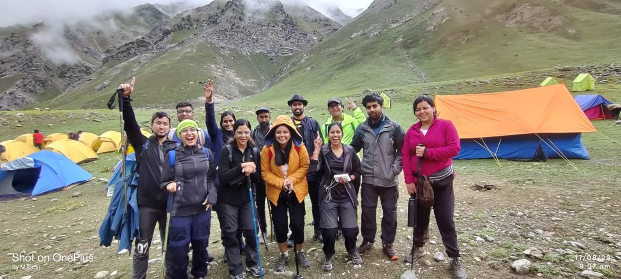
The Beauty of Sar Pass Trek - A Visual Journey Through the Himalayas
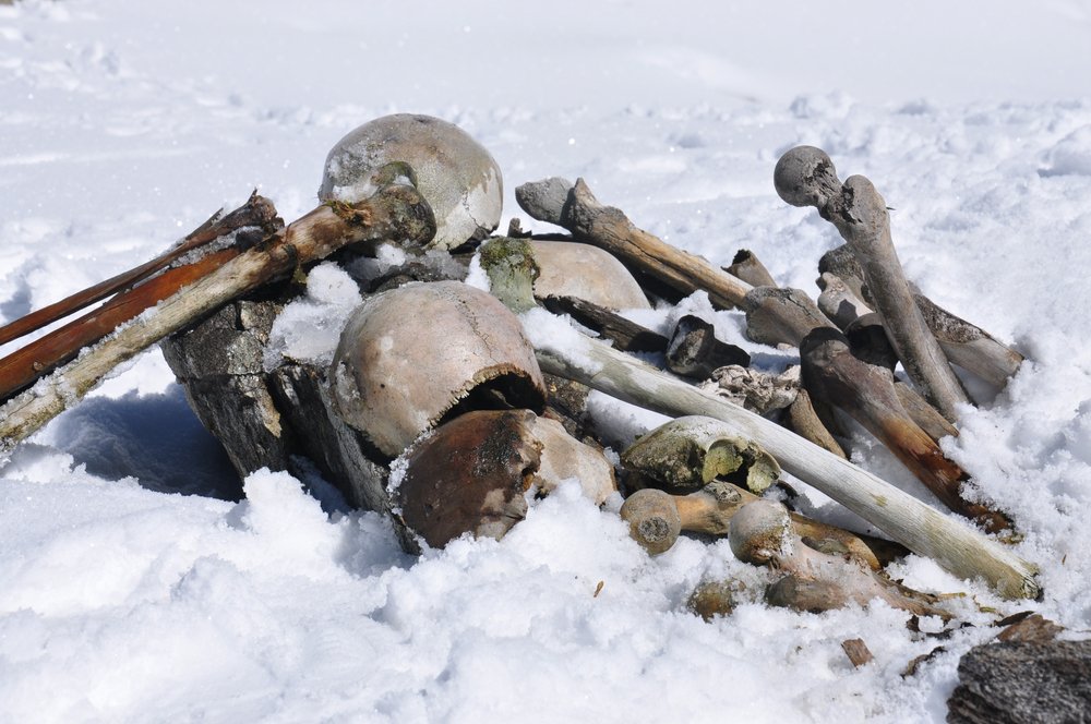
Exploring The Mysterious Skeleton Lake In Uttarakhand
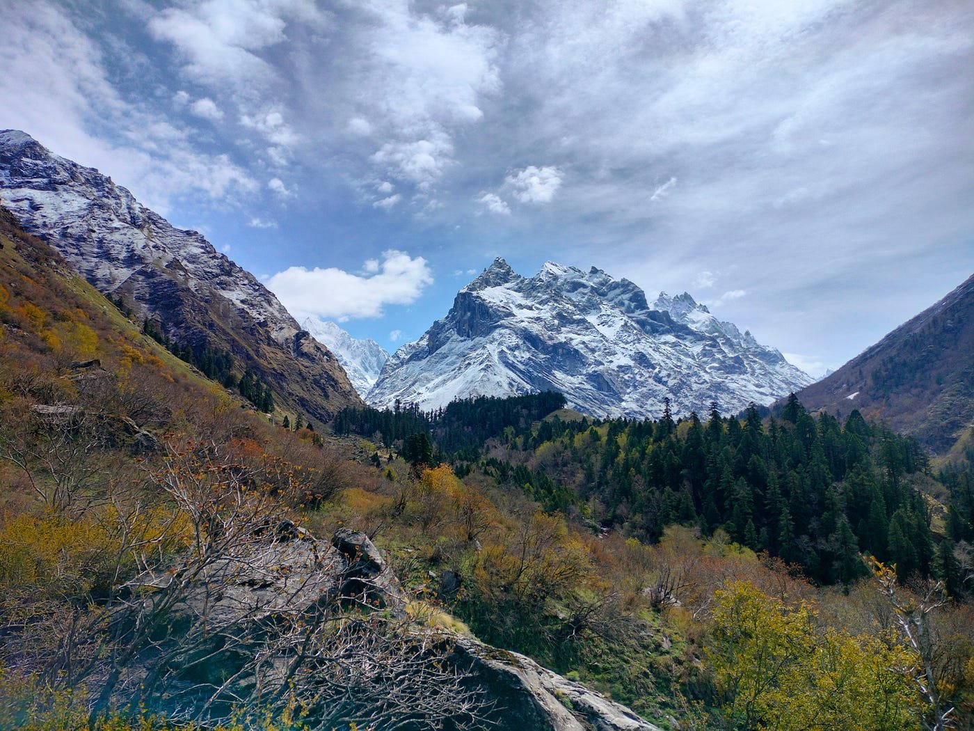
Explore the beauty of Har Ki Dun Trek - A complete Guide
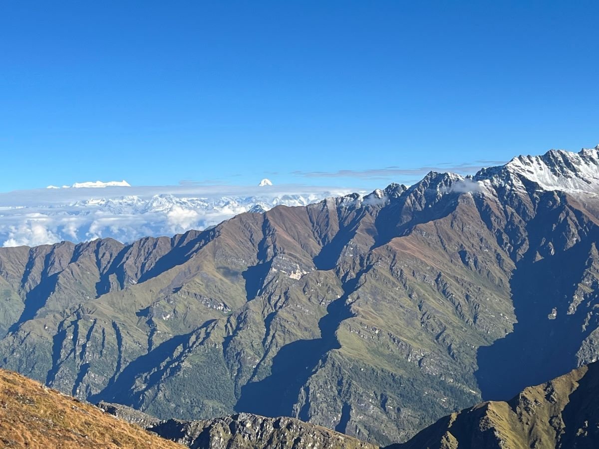
Roopkund Trek: Detailed Itinerary, Trekking Essentials & Best Time to Visit
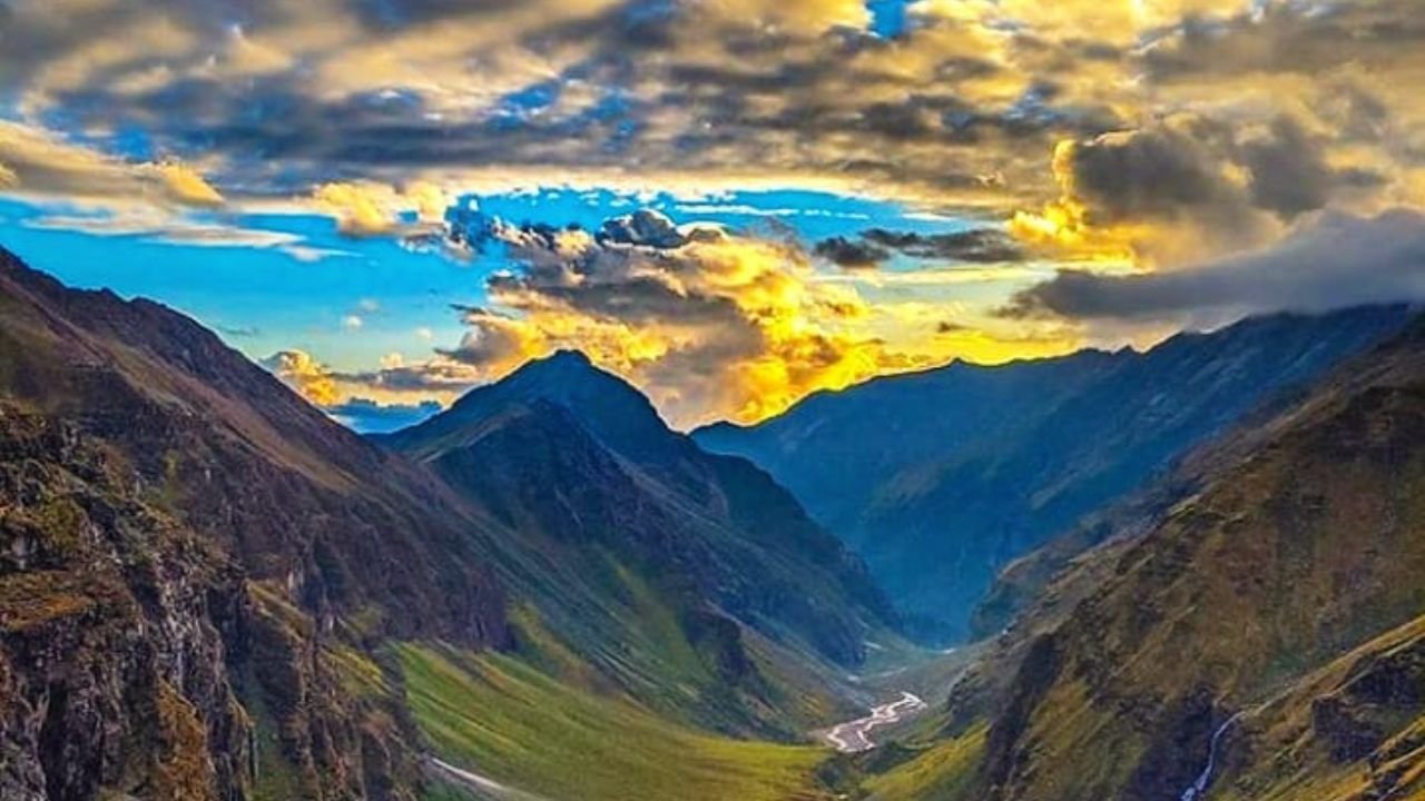
Rupin Pass trek : Detailed Itinerary, Trekking Essentials & Best Time to Visit
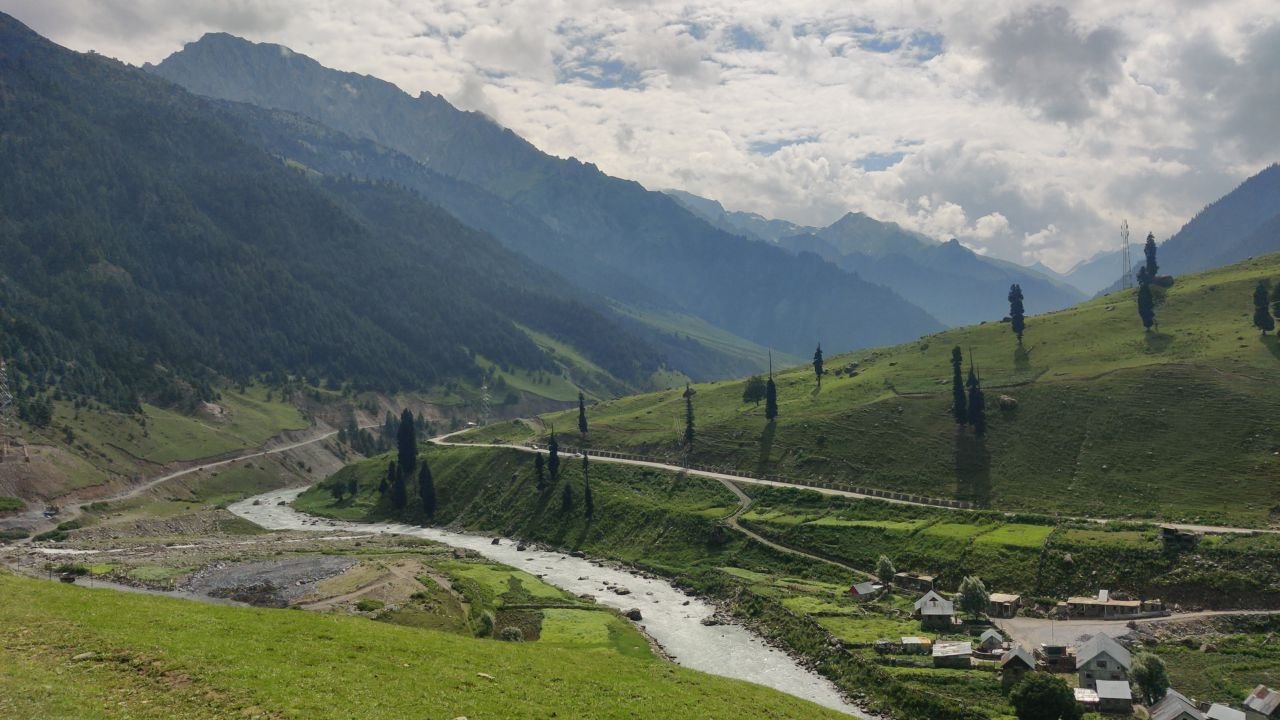
Kashmir Great Lakes trek: Detailed Itinerary, Trekking Essentials & More
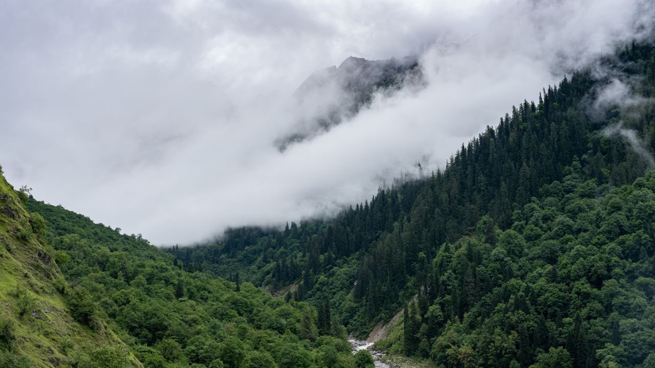
Valley of Flowers Trek Complete Guide: Itinerary, Tips & More
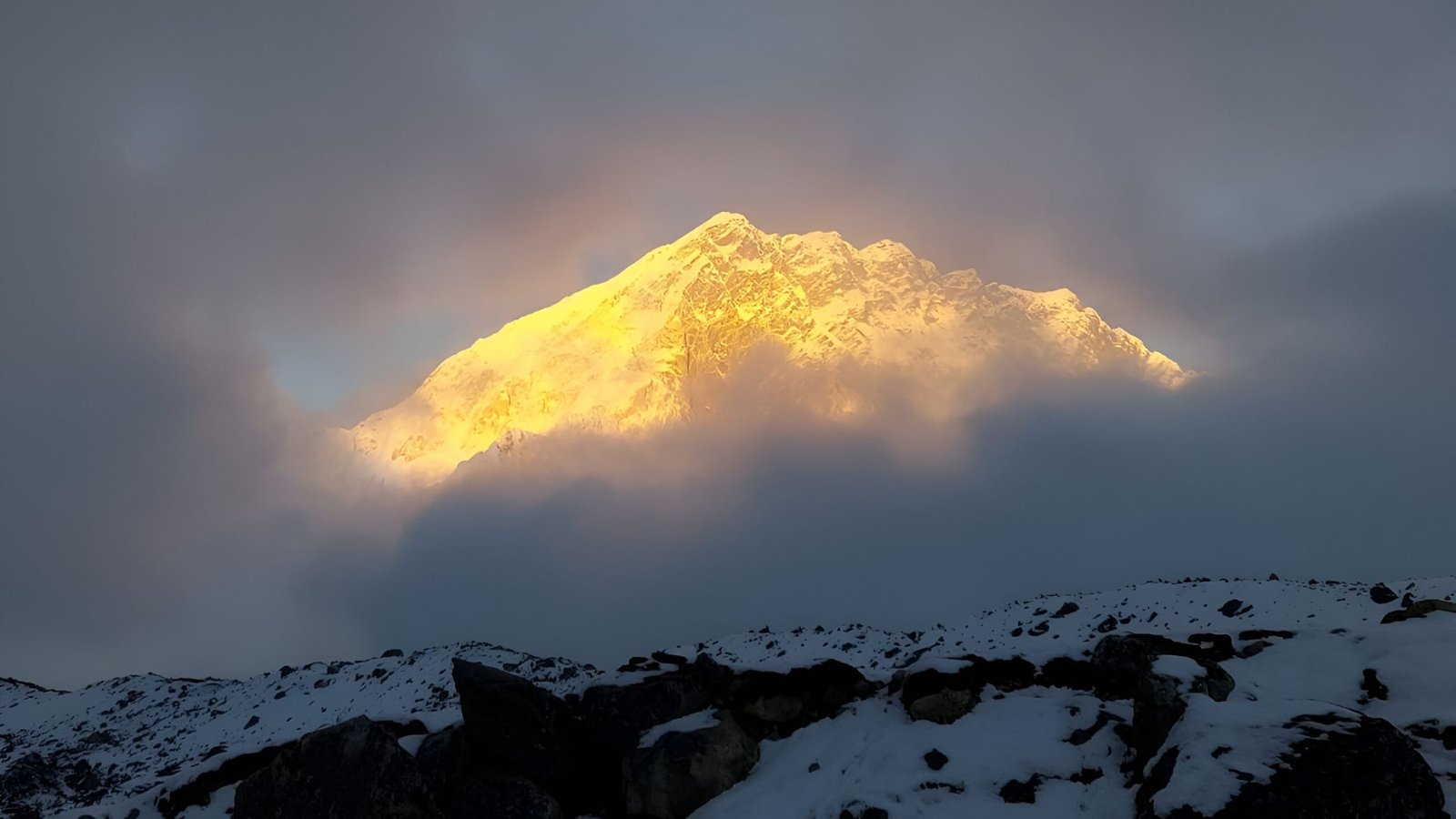
Everest Base Camp Trek: Guided vs Solo Experience

How to Pick the Perfect Kedarnath Travel Package for Your Next Trip
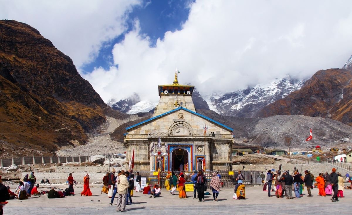
Kedarnath Temple Yatra Experience- A Complete Journey Guide


