Starting From
14,881
12,940.00
Starting From
14,881
12,940.00
Starting From
14,881
12,940.00
Miyar Valley Trek (166+ Reviews)
One way trail. The trek starts and ends at Khanjer
Chandigadh Railway Station
Chandigad Airport
Manali
July, August
Manali to Manali
Meals while on trek ( Veg and Egg)
Camping
Himachal Pradesh
7 days
Moderate
13200 Ft
62 Km
Overview
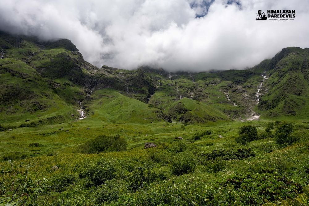
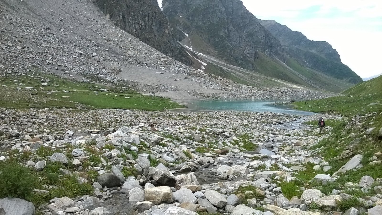
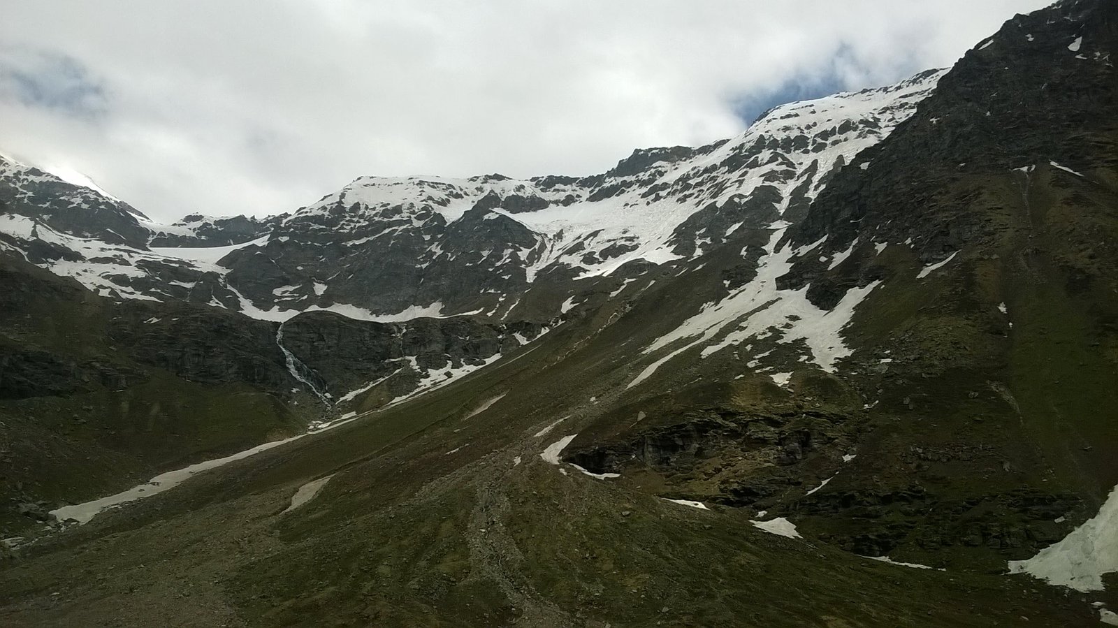
The Miyar Valley trek is renowned for its breathtaking natural beauty and remote wilderness. Highlights of the trek include panoramic views of snow-capped peaks, pristine alpine lakes such as Lake Chandratal, verdant meadows adorned with wildflowers, and encounters with nomadic shepherds and their grazing livestock.
Itinerary
Drive Distance: 110 km | Drive Duration: 3.5 hours Transport will be arranged at 8.30 AM. This cost has to be borne by trekkers and paid directly to the driver. Cost of the cab – Rs 11,000 per Tempo Traveller (12 seaters), Rs 8,000 for a Tata Sumo (5-6 seater), shared among trekkers. At Shukto, you will be staying at homestays.
-
Drive Distance: 22 km | Drive Duration: 50 minutes | Altitude Gain: 9,000 ft to 11,564 ft
Trek Distance: 7.2 km | Altitude Gain: 11,564 ft to 12,122 ft
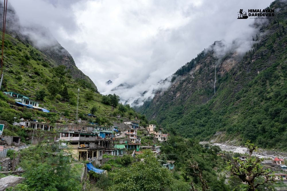
The road ends at Khanjar. You cross a suspension bridge that hangs over Miyar Nala to enter Kanjer village. This is the last village on the route. It is 31 km from Shukto. There are 13 villages inside this valley.
This region has three distinct types of soils: Alluvial, Hill-type and Meadow type. The region supports cultivation only from June to September. The villagers mainly grow iceberg lettuce, seed potatoes, apples, sea buckthorns, cauliflowers, barley, asafoetida, and medicinal plants such as Kuth (Saucerrea Lappa), mannu (Innu Racemosa).
From here the trail starts in a series of switchbacks while farms accompany you to the first campsite, Tharang. The place has a beautiful water stream nearby. Also, the flat meadow is used by locals to play cricket on occasions.
You also find many steep rockfaces around this region which have attracted the attention of rock-climbers.
The best part of the Tharang campsite is that you get to view Lahaul’s second-highest and most beautiful peak, Menthosa. It is known as the crown of Miyar Valley.
-
In the course of the whole trek, this is a slightly more challenging day. The trek initially is a flat walk and then there is a 10-15 minute descent to the bridge. From the bridge, there is a 20-minute steep climb towards Gompa and to the right is Gompa Nala. A little ahead you will find a shepherd's hut and around is a small water body which is also known as Gompa lake.
From the shepherd’s hut, for 30 minutes the route gradually descends towards a flat meadow patch. From here a stretch of boulder section comes which again takes you up and down, the section gets slightly tricky because you will be walking over the edges at certain points. Also, the ups and downs across boulder sections can get slightly tiring. But the steep pyramidical mountains surround you all around.
Eventually, the route descends to a flat region alongside the river. Here, the best part is to feel the beach-type walks and the constant gushing water.
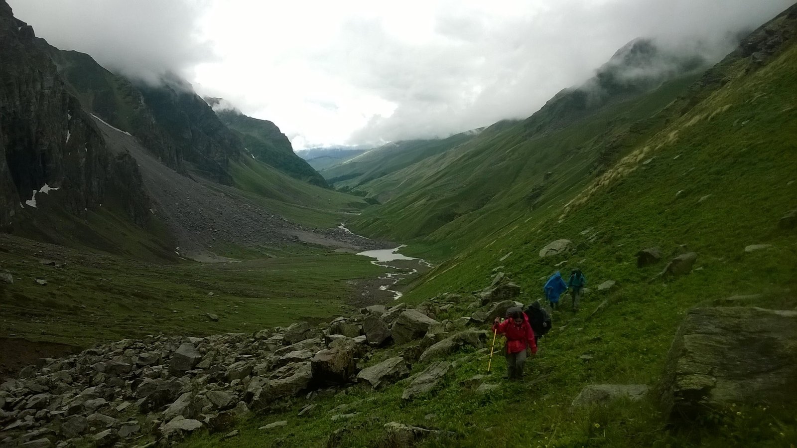
As you move more inwards the valley, the valley after every Nala gets wider and grander. Everywhere you look around there are valley openings. The trail is covered with multiple types of flowers.
-
The route walks alongside the river. The major portion involves flat walks. You'll come across the region by the name Chhudong.
Chhudong is a huge meadow patch which is located right next to the river. The river here is very soothing and wider than anywhere else along the trek. The murky water on your right goes all the way to the snout. Since the valley has an active river running in between, by just walking alongside the river the trail is well marked and easily noticeable. It's hard for anyone to get confused about the route.
Palpu is located near Castle Peak which again is a very beautiful campsite which offers a good view of the valley and Tharang peaks. From here if the weather is clear the chances of viewing Menthosa are also high.
-
Trek Distance: 8 km | Trek Duration: 3-4 hours | Altitude Gain and Loss: 12,782 ft to 13,202 ft and back to 12,782 ft
On this day we will go to the snout of the glacier which comes after going through a boulder section and a stream. Eventually, you reach a place which is the last small meadow patch located near seven icy ponds, this place is known as Kesar Yon Chu. From here on the actual glacier starts. The snout of the glacier is just 30 minutes from the ponds.
Once you have reached the snout, Spend a good amount of time. Then return from here on the same route. There are two more river crossings on the way back.
-
Trek Distance: 14 km | Trek Duration: 7-8 hours | Altitude Loss: 12,782 ft to 12,665 ft
The route walks alongside the river, Major portion involves flat walks. We come across the region by the name Chhudong. Chhudong is a huge meadow patch which is located right next to the river. The river here is very soothing and wider than anywhere else along the trek. The murky water on your right goes all the way to the snout. Since the valley has an active river running in between the valley, by just walking along-side the river it is well marked and easily noticeable, it's hard for anyone to get confused about the route.
After the flat meadows of Chhudong, the valley squeezes with boulder patches. Then comes the cold stream from a valley right to you. Here the Stream comes from the same valley which also has Never Seen Tower and Castle Peak. Again the trail gets flatter and you walk next to the river. After a while again the boulder patches with few water streams need to be negotiated.
Palpu is located near Castle peak which again is a very beautiful campsite which offers a good view of the valley and Tharang peaks. From here if the weather is clear the chances of viewing Menthosa is also high.
-
Trek Distance: 11.2 km | Trek Duration: 6-7 hours | Altitude Loss: 12,665 ft to 11,564 ft
Drive Distance: 137 km | Drive Duration: 4 hours
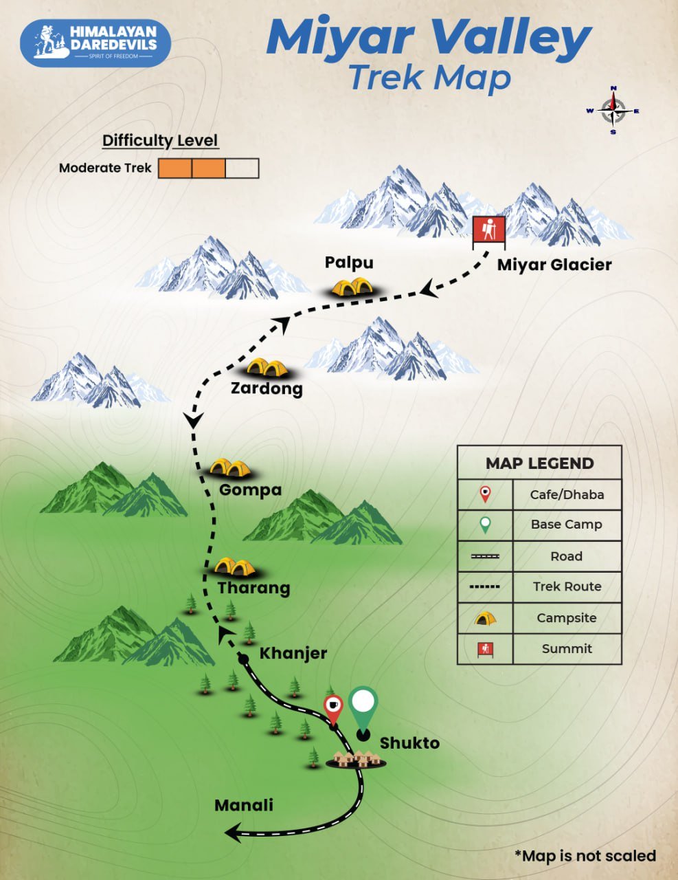
Miyar Valley Trek Map
Inclusions
Exclusions
- Meals while on trek (Veg).
- All necessary entry fees and permits.
- Accommodation:- Guest house, Home stay, camping during Trek.
- Mountaineering qualified & professional trek Leader, guide, cook and Support staff.
- First aid medical kits, stretcher and oxygen cylinder.
- Trek equipment: Sleeping bag, mattress, tent (twin sharing), kitchen & dinning tent, toilet tent, utensils and crampon (if required)
- Staff Insurance
- Porters/mules to carry central equipment.
- GST 5% (it is Mandatory)
- Any insurance (HDD recommends each trekker to get insurance)
- Any Meals/accommodation beside the itinerary or not mentioned in the program.
- Any Bus / Airfare to/from trek start/end point
- Personal Medical expenses do carry your medication.
- Any personal services such as Laundry, phone calls, liquors, mineral water, etc.
- Any still / video camera fee
- Any Entrance fee Monuments, Monasteries, Museums, Temples – Pay directly on the spot.
- Mules or porter charges to carry private baggage (Offload Charges for bag 1000 per day, per bag. Note: Bag weight should not be more than 10 kg.
- Any emergency evacuation charges
- Transport (Non Ac)
- Any expense incurred or loss cost by reasons beyond our control such as bad weather, natural calamities (landslides, floods), flight delays/rescheduling/ cancellations, any accidents/medical evacuations, riots/strikes/war/pandemics etc.
- Any services that are not mentioned in the cost inclusion section.
What to carry
There is an important question that the trekker who is doing trek asks, like what all things to carry while trekking. Below we have provided the details on everything you should carry; an easy way to remember is by Head to foot or foot to head. We have prepared from Head to foot.
- Head Lamps – If there are treks which you might do at night and even when camping for the night. Headlamps help a lot.
- Hats or Cap – Beanie Cap will protect you from winds and sometimes freezing temperatures for the night. Hats protect you from the sun during the day and also ensure they have a strap so the hat doesn’t blow from the wind.
- Sunglasses – if you want to carry sunglasses, you will need specific sunglasses for trekking. The glasses should protect from UV rays, fit your face perfectly so it doesn’t fall while you climb, jump, or cross an obstacle, and be according to the weather conditions of the place; the glass should be made to fit different weather conditions.
- Buff / Balaclava – You must carry this to protect your mouth or neck from extreme temperatures and keep it warm.
- T-shirt / Long sleeve shirt – you should carry at least 4 to 5 T–shirts, so if one gets wet or dirty, you can wear another. Long sleeve shirts help to protect from sun UV rays.
- Hiking / Trekking Jacket – down jackets (-5 to-10 C) or three-layer jackets.
- Thermals – at least two pairs of thermals help keep the body warm during cold weather.
- Undergarments – you can carry them according to your habitual and hygiene requirements.
- Gloves – 1 pair of gloves will keep your hand warm and nice.
- Shorts / Legging / Pants – Bring 3 to 4 warm, comfortable shorts. Leggings can be used specifically in the chilling morning and evening to keep your body warm and act as dry. You can carry some nylon blend and light and quick-drying pants. Warm covers ups like fleece-lined tracksuit pants or ski pants.
- Socks – you should at least carry 3 to 4 pairs.
- Footwear – Trekking shoes which are waterproof and have ankle support. Walking / Hiking sandals which can be used off the trek, i.e., in the morning and evening hours, basically to get your feet rest from heavy boots, sometimes used for crossing streams and rivers, it’s more comfortable and safer than crossing barefoot or wetting your boots. Sneakers (Optional) can be worn for normal driving days or used around the camp.
- Rain Wears – you can carry a raincoat, rain jacket, and pants. During long rains, the waterproof jackets start leaking, but the poncho does get work in keeping you dry, so choose accordingly. Rain covers, small waterproof to cover your backpack and a daypack for your gadgets.
- Backpack – Make sure your backpack should be comfortable, neither too big nor too small, and for a week’s trek, 60-70 litres of the backpack should be enough to hold all your belongings. Ensure your backpack has good hip & Shoulder support, and pockets should be accessible quickly.
- Daypack – All trekkers should keep in mind that a daypack is very important; this will be a great help to you while on the trek, also every single day, you won’t be carrying your backpack; therefore, for day excursions, shorter hikers, sightseeing, you can carry your stuff in it.
Compulsory Documents to Carry
These files must be submitted to the Forest Department before your trek. With none of these, you will not be permitted to trek. Original and photocopy of government photo identity card. Carry Ids like Aadhaar, voter id, etc.
How to reach
Option 1 :-
Travel overnight on a bus to Manali
Delhi to Manali 14 hours
Chandigarh to Manali 10 hours
A bus ride to Chandigarh is the most convenient choice.
We would always suggest using the government. buses instead of those operated by private companies outside the bus station, in our experience, we’ve observed that there are a lot of likelihood of delays with private buses.
Additionally, government. buses are more trustworthy. Whatever bus you pick be sure to get to Manali at the very least between 9 and 10 am.
Option 2:-
Fly to Delhi/Chandigarh airport, then travel via bus to Manali (Best alternative).
Fly to Bhuntar Airport. Manali is only two hours away. You can easily catch an airport bus or private taxi to the airport.
We do not recommend Bhuntar airport due to the pricey flight and the unpredictable nature due to cancellations. If you decide to fly via Bhuntar be sure to be there at least a day prior to when the trek begins.
Fitness and preparation guide for Miyar Valley Trek
FAQ
.
Cancellation policy
Life is unpredictable and we understand sometimes you have to cancel or change your trip dates and it is our endeavour to make it as easy possible for you. However, please understand we plan everything including guide fees, permits, accommodation and ration in advance. Therefore any cancellation means inconvenience and certain losses to the people involved in various stages of programme. Keeping that in mind, our cancellation charges are as below-
Cancellation prior to 30 days from start of the event: Get monetary refund with 15% of cancellation charges on trek fee.
Cancellation between 30 days and 15 days to the start of event: 50% on trek fee is non refundable and the remaining 50 % will be given as cash voucher which is valid for 1 year.
Cancellation less than 15 days to the start of event: No refund.
Please note cancellation will be only accepted by email.
Booking amount is non refundable
Note: The Himalayan Daredevils reserves the right to cancel a programme before departure in the event of logistical problems arriving due to natural calamities, strikes, wars on any other circumstances that makes the event inadvisable. In this case, 50% on trek fee is non refundable and the remaining 50 % will be given as cash voucher which is valid for 1 year.
Itinerary changes & trip delays:
We plan itineraries based on the information at the time of planning and in rare circumstances, there are subject to change. In the event that the itinerary is changes or delayed due to unforeseen circumstances such as bad weather conditions, transportation delays, government intervention, landslides etc. We will always aim to give you the best experience possible. However The Himalayan Daredevils are not be held responsible for the cost of delay or changes.
Why Choose Us
